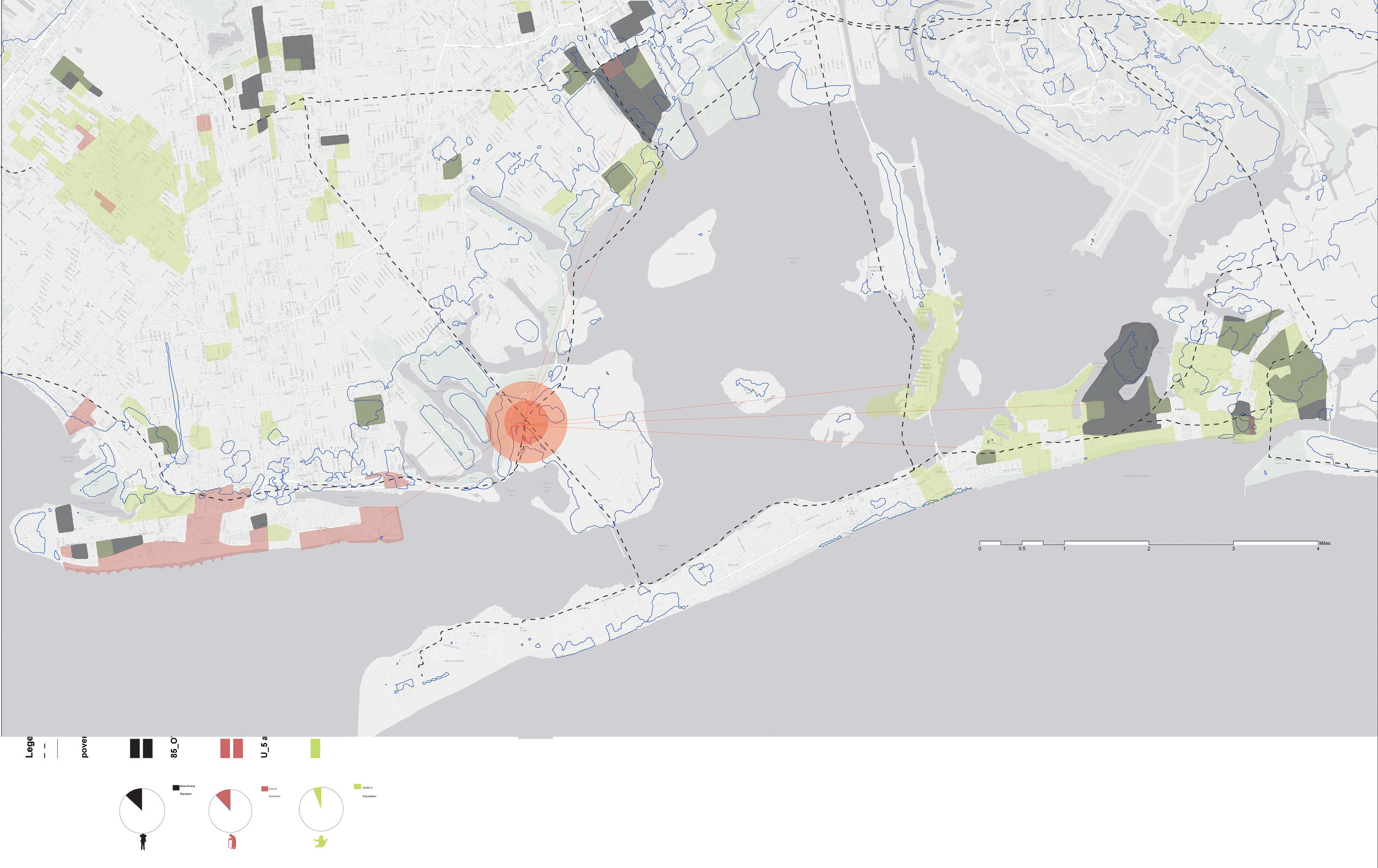
Utilizing GIS to identify at risk populations, a spatial analysis of communities led to the sighting of the project. The elderly, those affected by poverty, and families with young children are most likely to be cut off from supply chains, live in h
 The site in Jamaica bay is part of the only national park in New York City. Deep enough for boat passage and yet protected from storm surges by a shallow region, this area already contains a marina, beaches, and hiking trails. The proposal seeks to
 The landscape, consisting of ponds that host fish hatcheries as well as absorb storm water, was modeled parametrically in a voronoi pattern and then allowed to deform. Topographic points from regional geographic data provided the frame from which to
diagrams.jpg
fishponds.jpg
 The proposed plan includes a network of ponds, accessible from boardwalks, with three main campus buildings and several small “outpost” classrooms.
renderlfsc3.jpg
FEMAclose.jpg
fromboardwalklayered.jpg
renderlfsc.jpg
aerial1storm.jpg
ponds copy.jpg
prev / next